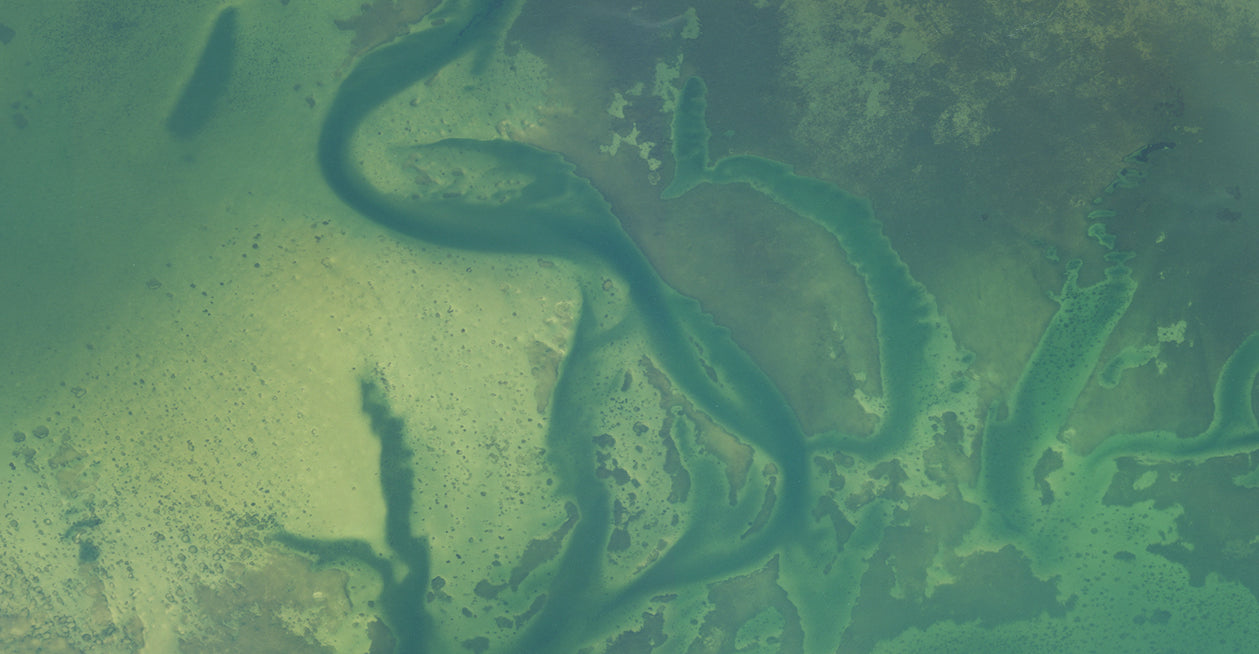
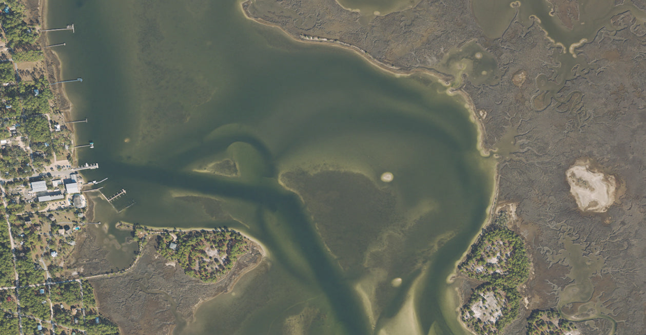
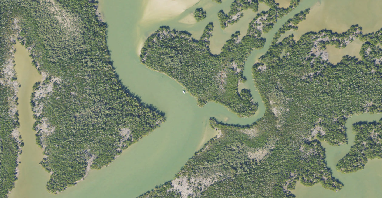
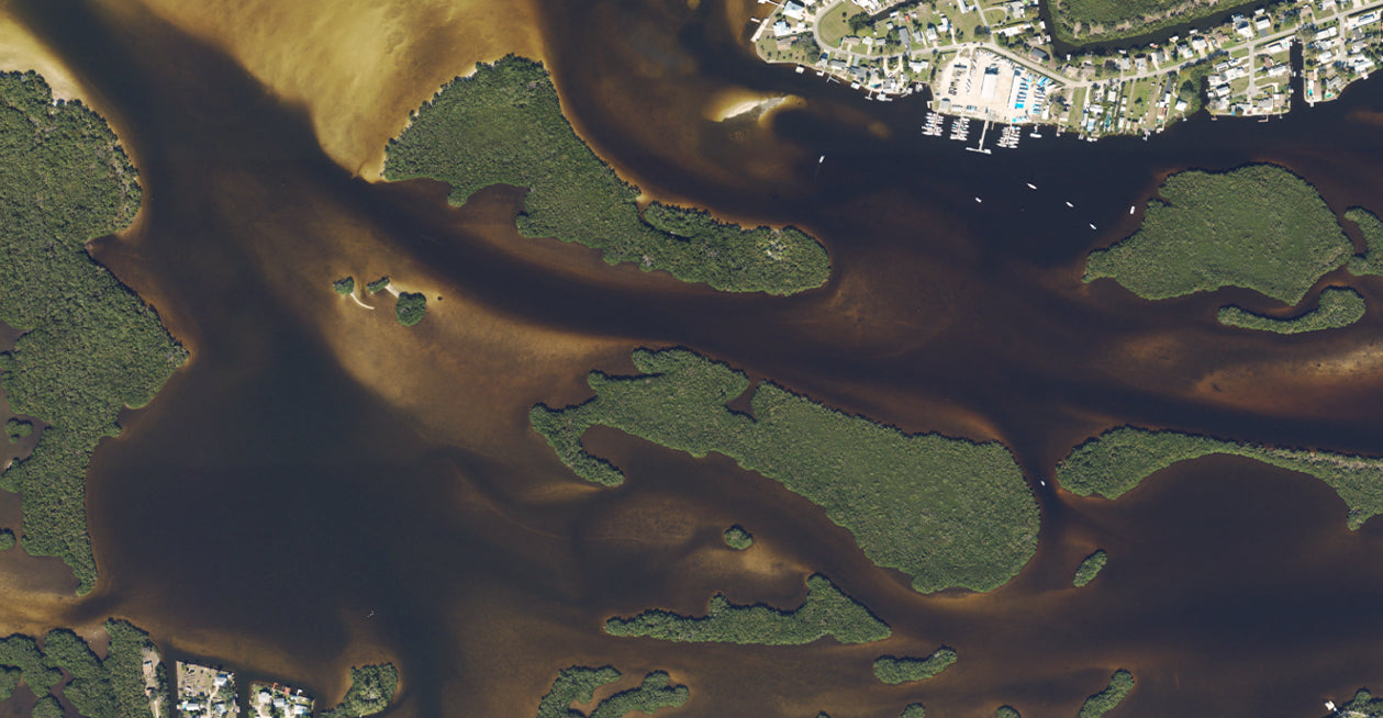
The Florida West Coast Aerial map replaces the generic basemap on your GPS and provides high resolution aerial coverage along the Florida's West Coast from Perdido Bay (Alabama Border) down the coast through Flamingo Marina (Florida Bay).
Coverage:
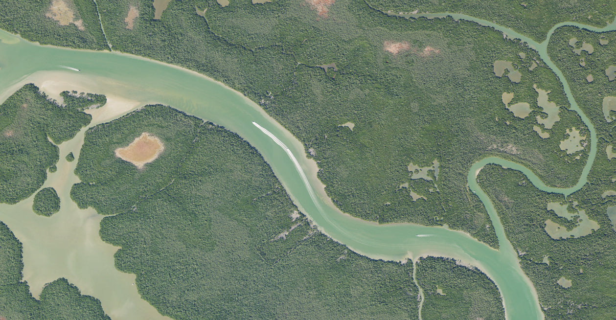
Shark River
Perdido Bay
Everglades National Park
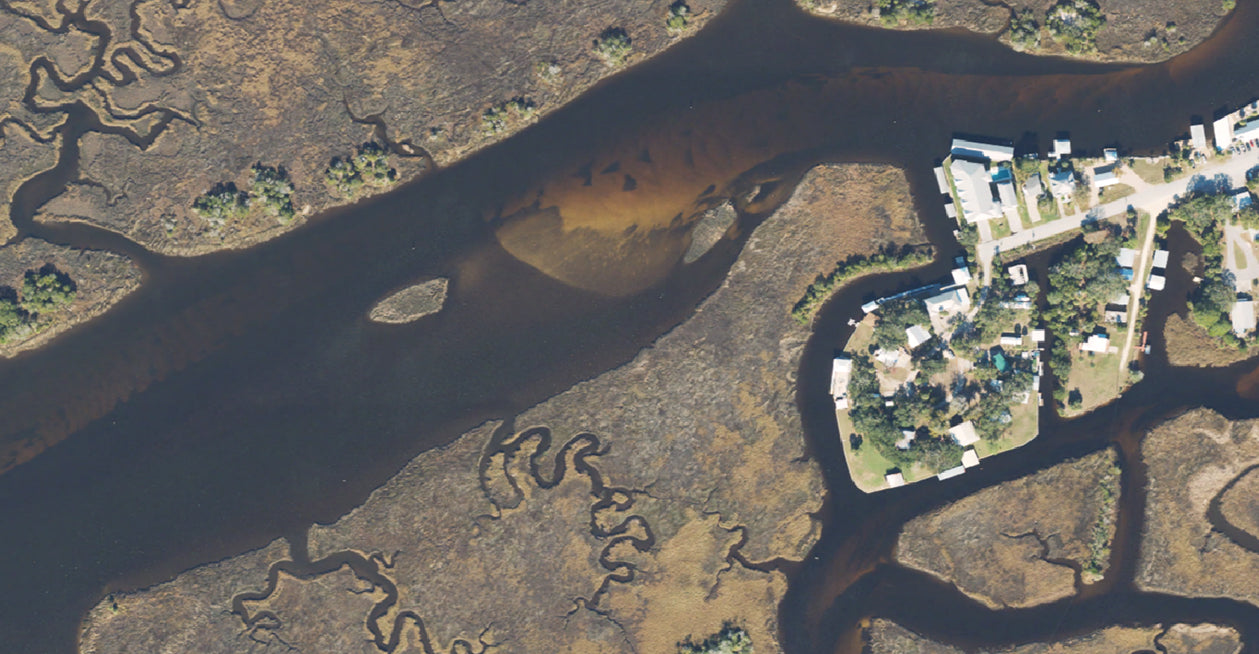
Chokoloskee
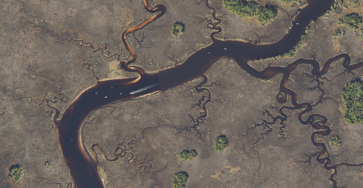
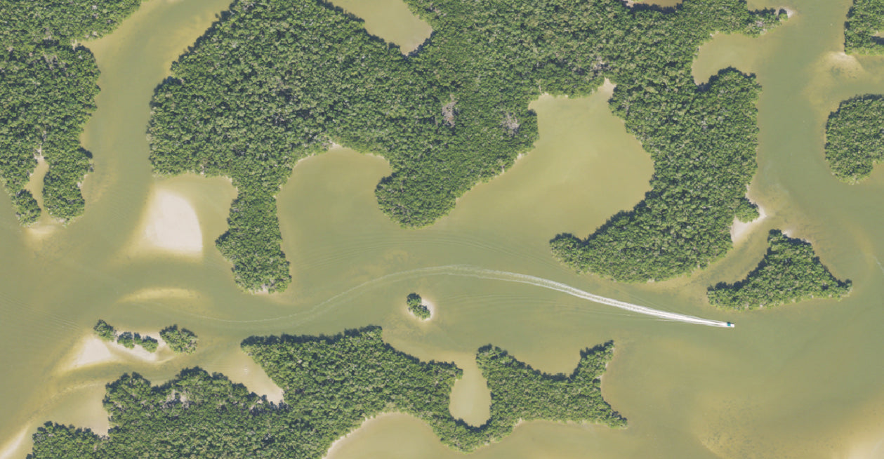
Ten Thousand Islands
Peace River
Tampa Bay
Crystal River
Steinhatchee
Cedar Key
Big Bend
Panama City
And more!
Navigate, Explore, and Conquer more with CatchMap’s exclusive features: