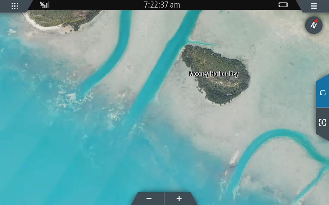
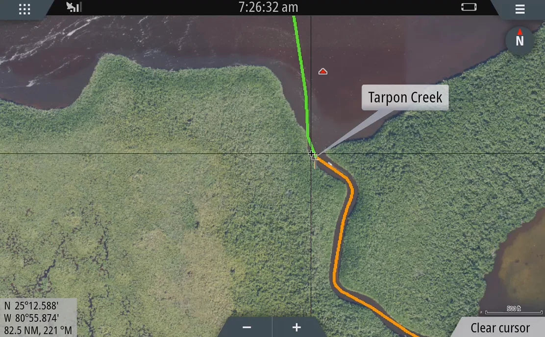
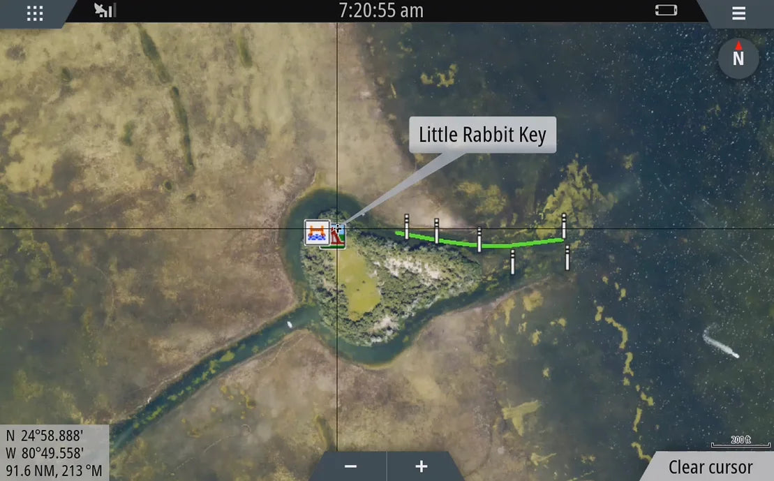
The South Florida Aerial map replaces the generic basemap on your GPS and provides high resolution aerial coverage along the Florida's East and West Coast from Naples / Ft. Lauderdale through the Florida Backcountry, Florida Keys, Marquesas, Tortugas, and more.
This map installs in seconds and is compatible with Simrad, Lowrance, B&G, Mercury Marine, and Raymarine GPS Chart Plotters.
Naples (Doctor's Pass)
Fort Lauderdale (Port Everglades)
The Keys
Marquesas
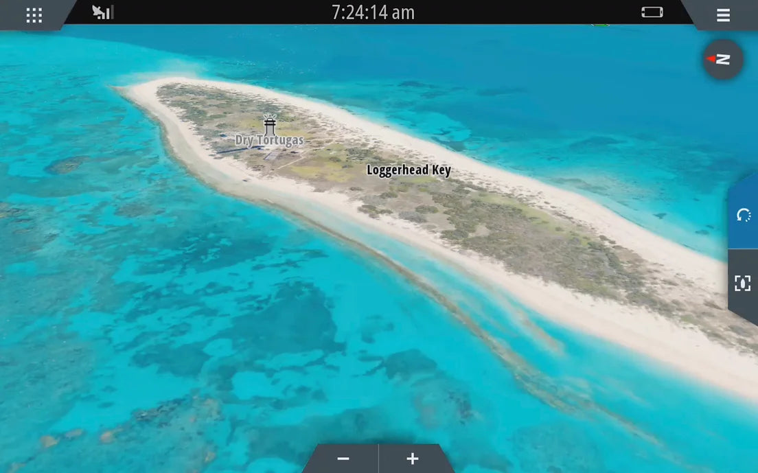
Tortugas
Chololoskee
Ten Thousand Islands
And more!
Navigate, Explore, and Conquer more with CatchMap’s exclusive features:
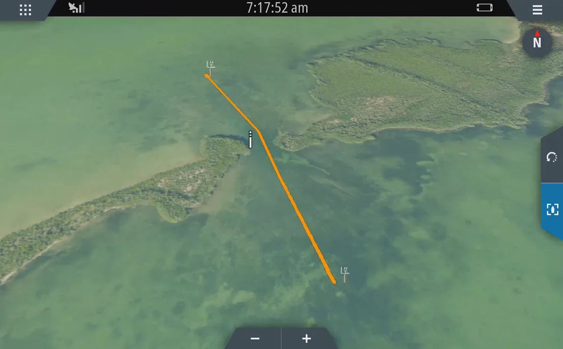
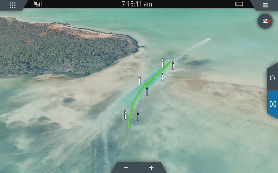
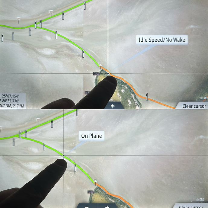
High-Resolution
Navigation Aids with Suggested Routes and Speed Zones