1
/
of
1
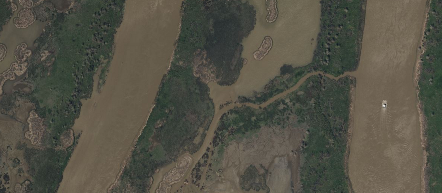
Louisiana Aerial
Louisiana Aerial
Regular price
$400.00 USD
Regular price
$420.00 USD
Sale price
$400.00 USD
Unit price
/
per
The Louisiana Coast Aerial map replaces the generic basemap on your GPS and provides high resolution aerial coverage along Louisiana's Coast from Biloxi Mississippi through Cameron, Louisiana.
Coverage:
- Venice
- Lake Borgne
- Bay Boudreau
- Eloi Bay
- Drum Bay
- Delacroix
- Port Fourchon
- Dulac
- Terrebonne Bay
- Atchafalaya Bay
- Marsh Island
- Vermillion Bay
- Calcasieu Lake
- And More!
Navigate, Explore, and Conquer more with CatchMap’s exclusive features:
- High-Resolution
- Navigation Aids with Suggested Routes
- Precise GPS location with Aerial Imagery
- Named Features and Waterways
- Land Features
- Navigational Map with POIs
- And more!
Couldn't load pickup availability
Share
In stock
View full details