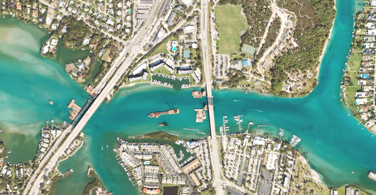
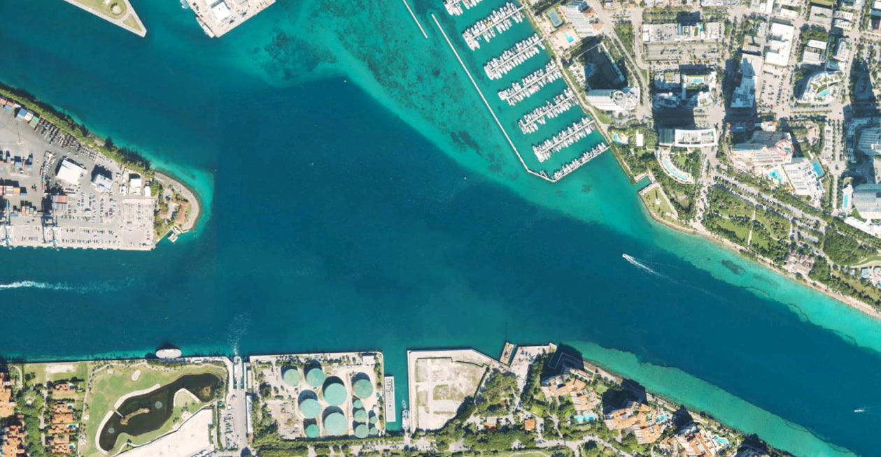
The Florida East Coast Aerial map replaces the generic basemap on your GPS and provides high resolution aerial coverage along the Florida's East Coast from South Georgia down the coast through South Miami, and also includes The St. Johns River & Lake Okeechobee.
South Georgia through South Miami
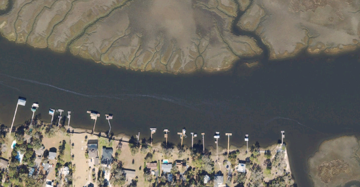
St. John's River
Lake Okeechobee
Mosquito Lagoon
Port Canaveral
Jupiter
Stuart
And more!
Navigate, Explore, and Conquer more with CatchMap’s exclusive features: