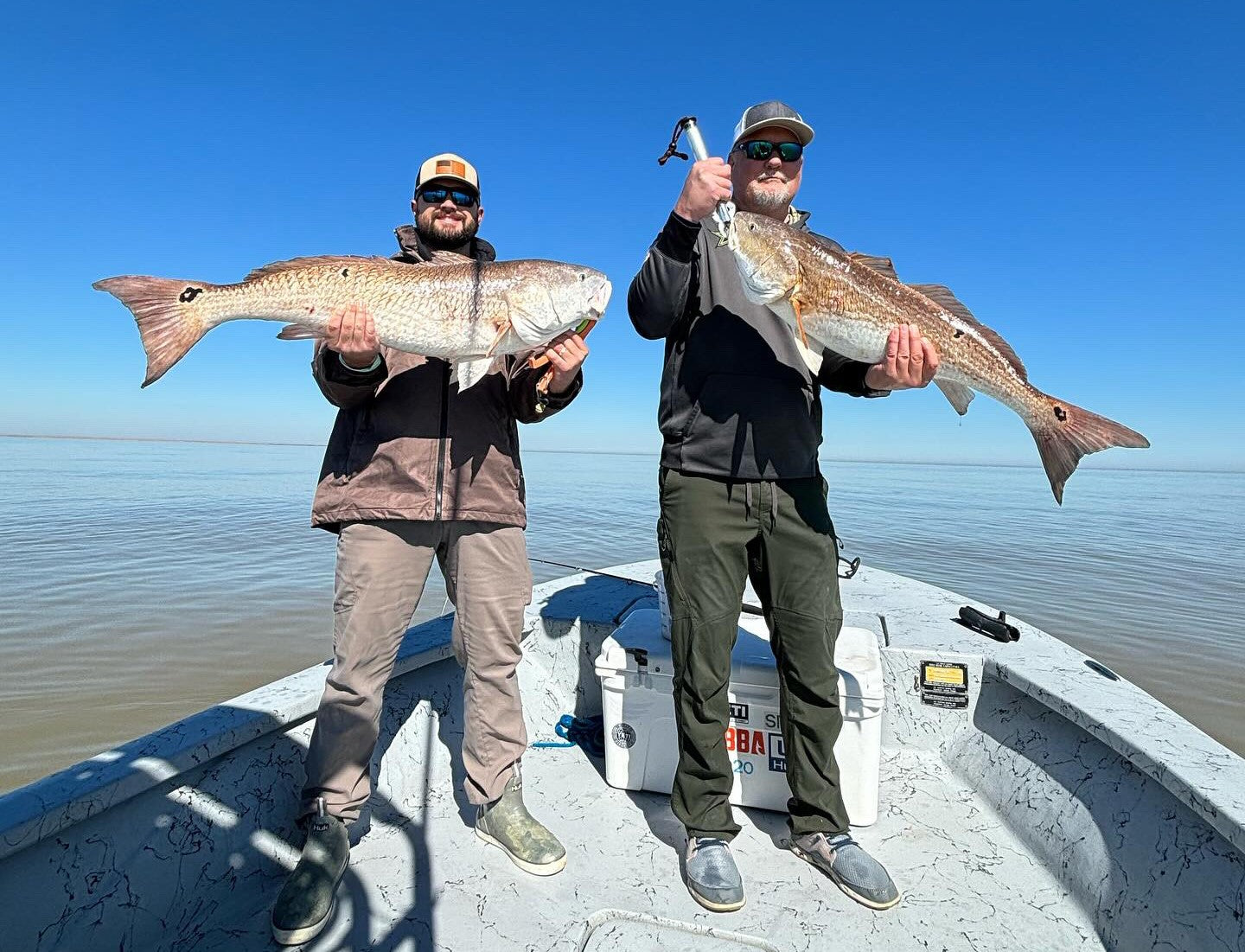
Catch More.

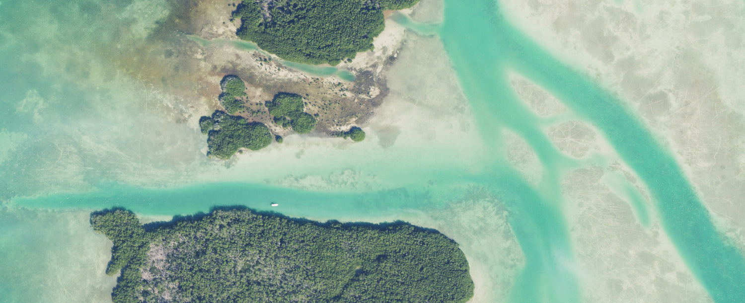
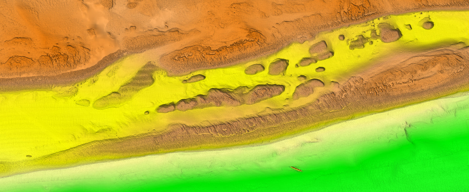
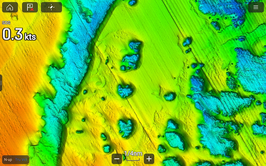
Visualize high resolution relief shading structure imagery with precise GPS location.

Shop Structure Maps

Go Beyond.

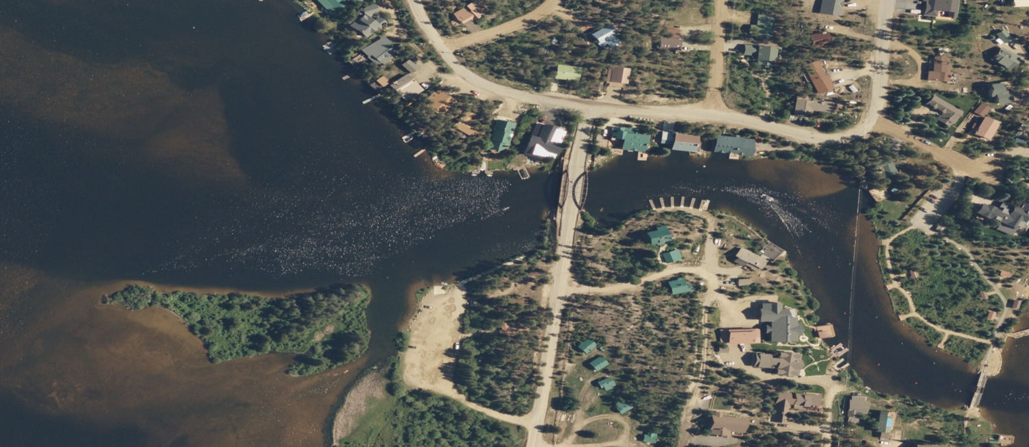
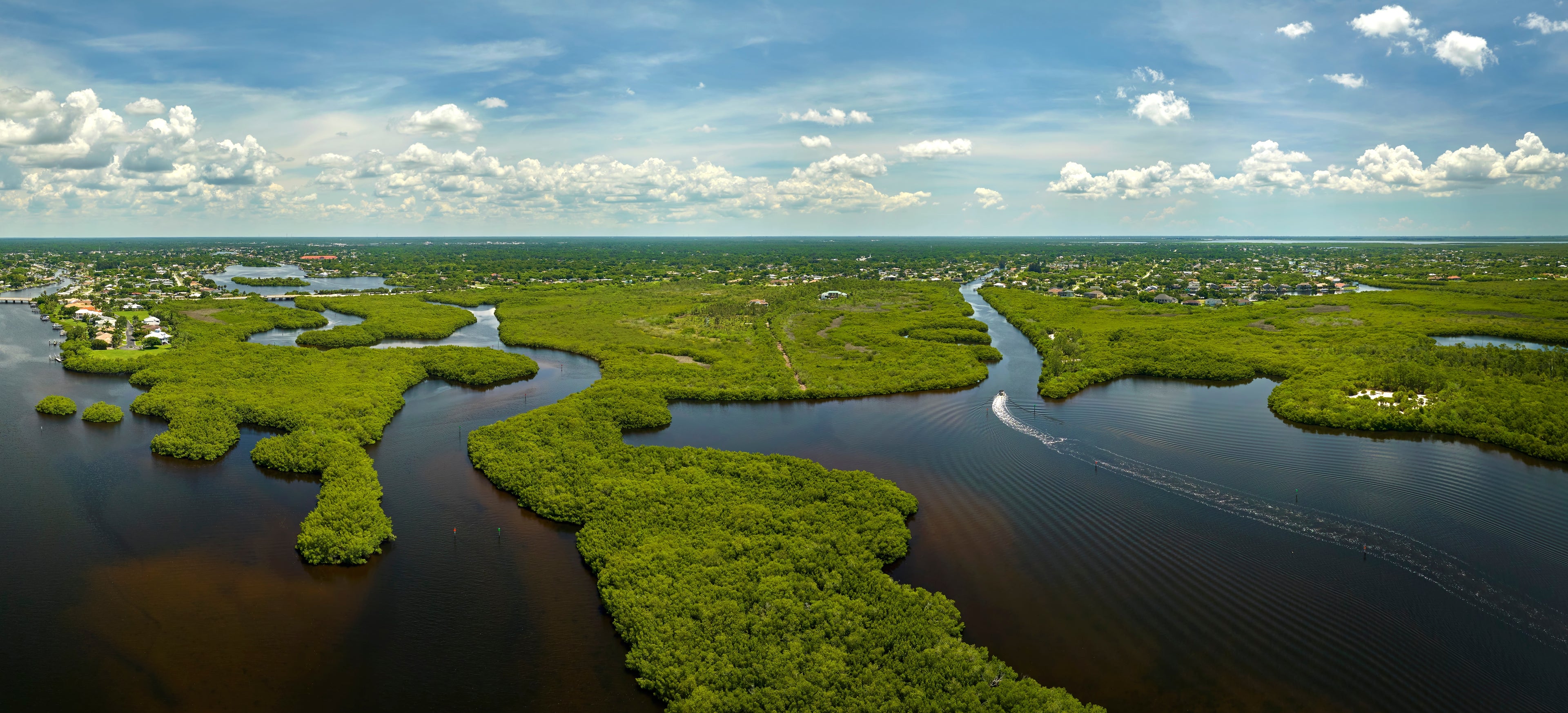
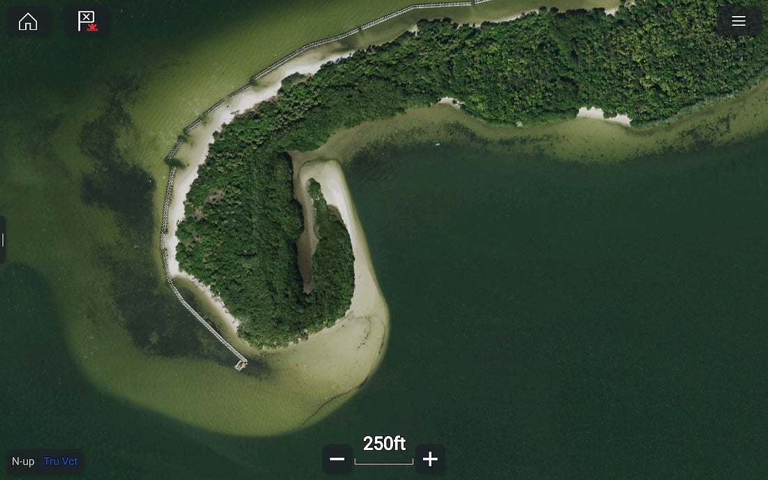
Industry leading aerial mapping with digital routes designed to take you further.

Shop Aerial Maps

Simplified Perfection.

The only lake maps offering exclusive hotspots with detailed imagery.

Shop Lake Maps

Premium Benefits.

Join the community to take advatage of exclusive perks and forum access.

Join Catch Club

Learn More

What is CatchMap

CatchMap offers more than high resolution maps with digital insights. We are a community of Boaters, Anglers, Divers, and Sailors that are the driving force behind the best charts on the water.

What GPS units are compatible with CatchMap?

CatchMap is works with the industry's biggest brands of GPS Chart Plotters.

Garmin users with 84/86/9 series units can access CatchMap on our application directly on their screen with the addition of an affordable computer, as well as iOS and Android devices.

Contact our team for direct support sales@catchmap.co

What is Structure Mapping

Structure mapping is 3D relief shading imagery of the bottom. These maps show your position over the bottom structure in real time with pinpoint accuracy.

Structure mapping is a must have for anglers and divers looking to target new spots and catch more fish.

What is Catch Club

Catch Club is an exclusive membership that gives you access to our world class application, community forums, digital fishing seminars, early access to map updates, discounts, and more.

Find Your Way.